Starpath
Emergency Navigation Online Course
Emergency Navigation Online Course
Couldn't load pickup availability
Be prepared for any navigation contingency
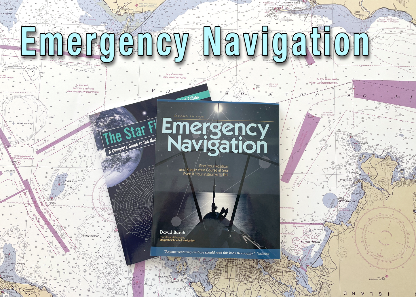
Printed materials:
Emergency Navigation By David Burch ISBN 9780071481847
The Star Finder Book By David Burch ISBN 9780914025634
This course covers all aspects of navigation with limited instruments and aids or none at all. It is intended for power, sail, or paddle driven vessels, or even back-country travelers — indeed, many if not most of the techniques are much easier on land than they are at sea.
All of the background knowledge and procedures that were assumed or taken for granted in our other courses must now be mastered. Without our conventional instruments, we must get by on our knowledge alone.
This course assumes some basic nav skills such as reading and plotting Lat and Lon on a chart or plotting sheet, plotting courses using range and bearing and so on. Speed-time-distance computations are also used. There is some short practice of this in Lesson 1. We also introduce and practice with Pilot charts in that Lesson.
Lesson Plan
1 — TIME, PLACE, AND DIRECTION AT SEA
Introduction • What is emergency navigation? • Scope of this course • Preparation for navigational emergencies • Latitude regions and seasons defined • Time in navigation • Finding position vs keeping track of position • Choosing a route • Compass checks • Steering without a compass
2 — STEERING BY WIND AND SWELLS
Reading the wind • Swells, waves, and ripples • Wind shifts
3 — STEERING BY THE STARS
Being an explanation of the concept of steering "by the shape of the whole sky" • Or whatever part is showing • Using key ideas such as leading stars and trailing stars • Circumpolar stars • And numerous tricks for learning "the shape" • Including special star groups • Overhead stars • Half-latitude rule • The tropics rule • Polynesian star paths • Circumpolar star paths • Timing low stars • and more
4 — STEERING BY THE SUN
Sunrise and sunset • Morning sun and afternoon sun • Local Apparent Noon • Solar time method • The shadow-tip method • The tropics rule for the sun • Sun crossing due east or due west • Sun compasses
5 — STEERING BY OTHER THINGS IN THE SKY
The moon • The planets • Clouds, birds, and planes
6 — STEERING IN FOG OR OVERCAST SKIES
How to make a magnetic compass • Direction finding with a portable radio • Streaming a line along the centerline
7 — CURRENTS AND DEAD RECKONING
Ocean currents • Tidal currents • Wind-driven currents • Coastal currents • Finding boat speed • DR errors from speed and direction • DR errors from currents and leeway • Progress to weather
8 — LATITUDE AND LONGITUDE AT SEA
Makeshift altitude measurements and calibrations • Makeshift altitude corrections •Latitude by Polaris • Latitude from zenith stars • Latitude from horizon-grazing stars • Latitude from double transits of circumpolar stars • Latitude from the sun at LAN • Latitude from the length of day • Keeping track of latitude • Longitude from sunrise or sunset • Longitude from LAN (the equation of time) • Finding GMT from a known position • Keeping track of longitude
9 — COASTAL PILOTING WITHOUT INSTRUMENTS
Signs of land at sea • Visible range of lights and land • Finding distance off • Running fix from radio bearings • Course made good in current
10 — WHAT TO DO WITH WHAT YOU'VE GOT (A SUMMARY)
Routine navigation with everything • Position by radio contact • Everything but GMT • Everything but a sextant • Everything but sight reduction tables • Everything but a compass • Everything but an almanac • Nothing but GMT
Share

