Starpath
Inland and Coastal Navigation Online Course
Inland and Coastal Navigation Online Course
Couldn't load pickup availability
Comprehensive navigation in sight of land, using both traditional and electronic charting
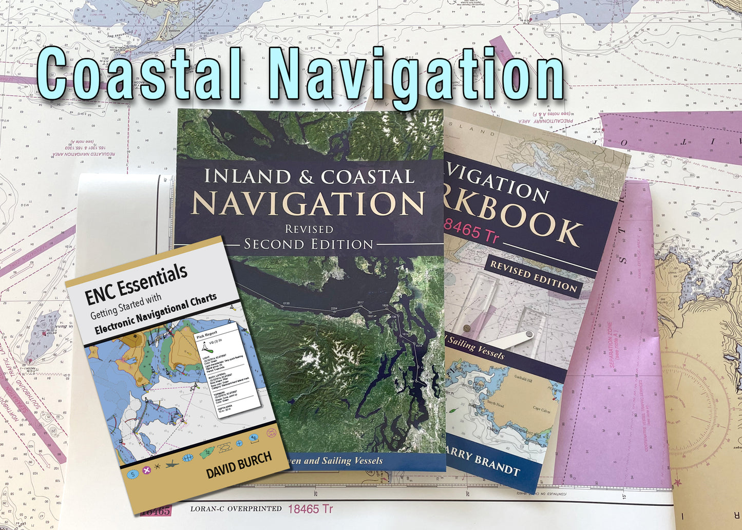
Printed materials:
Inland and Coastal Navigation By David Burch ISBN 9780914025405
Navigation Workbook 18465 Tr ISBN 9780914025450
ENC Essentials ISBN 9780914025771
Training Chart 18465 Tr
Practical small-craft navigation (sail or power) starting from the basics and ending with all that is needed to navigate safely and efficiently on inland and coastal waters in all weather conditions. For beginners and more experienced mariners alike. All materials are provided except plotting tools.
No prerequisites are required, we start from the basics. Many thousands of students have successfully learned navigation from these materials and gone on to bareboat chartering or day sailing or world cruising in their own boats. Please see General Course Information and Frequently Asked Questions for more details.
With the electronic components, you can take the complete course with you as you travel, or use it to search the complete set of materials for specific topics. If you prefer to work on your own without computers, you have a complete syllabus with practice exercises and answers in the printed materials. If you want extra structure to your training, then take part in the online course for more discussion and individual quizzes at each lesson.
Most important, however, with this versatile package you can learn both traditional and electronic navigation at the same time — solve the practice problems in the traditional manner on a paper chart with standard plotting tools and also solve the problems electronically in an echart program using waypoints, bearing lines, and range rings.
Each Starpath course includes free access to our online Resources and discussion groups. The Student Discussion Groups are similar to our Public Discussion Groups, but they are much more extensive including all classroom discussion since 2003. We have instructors in three different time zones, so if any question comes up, just post it in the Student Discussion Forum for a quick answer—or search to see if someone has already asked the question for an even faster answer.
Lesson Plan
1 — THE ROLE OF NAVIGATION
Types of navigation • Navigation as a hobby • Modern Navigation • What is a small craft? Philosophy • Electronic vs. Traditional methods • Introduction to online resources
2 — NAUTICAL CHARTS & CHART READING
Lat • Lon • and nautical miles • Charts • Special Publications (Catalogs, List of Latest Editions, Notices to Mariners, Light List, Coast Pilot, Chart No. 1) • Plotting tools • Nav stations • Chart reading • Shipping lanes
3 — LIGHTS • BUOYS AND OTHER AIDS
The Light List • Light characteristics • Predicting lights (Nominal range, Geographical Range, and Luminous Range) • Estimating the range of visibility • Navigation by lights • Buoyage systems
4 — COMPASS USE
Earth’s magnetic field • Variation • How a steering compass works • Deviation • What affects compasses and what doesn’t • Compass conversions • How to check your compass • Bearing compasses • Bearing fixes
5 — DEAD RECKONING
Ranges as Lines of Position • Speed • time • and distance (magic circle, slide rule, tricks) • Plotting procedures • Log books • DR plus fixes • depth sounding navigation
6 — PILOTING
Value of one LOP • Fix errors and instrument errors • Knotmeter and log calibration • Distance off (vertical and horizontal angles, blink of the eye) • Doubling the bow angle • Running fixes • range and bearing fix.
7 — ELECTRONIC NAVIGATION
Use of GPS underway • Position navigation • SOG and COG • Waypoints and routes • Currents • XTE • and plotters • How GPS Works • Loran and other electronic aids • Electronic Compasses • Trends in electronic publications • Introduction to echart nav using OpenCPN
8 — TIDES and CURRENTS
Tides vs. tidal currents • Use of tidesandcurrents.noaa.gov • Rule of 12’s and other tricks • Types of currents (ocean, tidal, wind-driven, coastal currents) • Current Tables and Charts • Reading the water • Currents and waves • DR with currents (some tricks) • Inland vs coastal currents • value of Coast Pilot
9 — NAVIGATION IN CURRENT
Measuring current strength • Crossing Currents • Using natural ranges • Time and place to cross.
10 — RULES OF THE ROAD
Right of way and obligations (sail and power) • Running lights (yours and theirs) • Collision avoidance • Use of Radar • Gill nets • GPS • LORAN • Navigation planning • General review and summary of procedures
11 — NAVIGATION PLANNING AND PRACTICE
Preparation • Shoreline routes • In and around islands • Open-water crossings • Coastal routes • Planning around wind and currents • Navigation at night and in fog • High seas navigation
12 — SPECIAL TOPICS
Procedures in reduced visibility • depth soundings • Radio Direction Finding • Entering a strange harbor in reduced visibility at night • Progress to weather (leeway, wind-driven currents, helm biases) • VHF radios • cell phones • Looking ahead to NOAA Custom Charts (NCC)
Share

