Starpath
Marine Weather Online Course
Marine Weather Online Course
Couldn't load pickup availability
New Standard in Marine Weather Education
Printed materials:
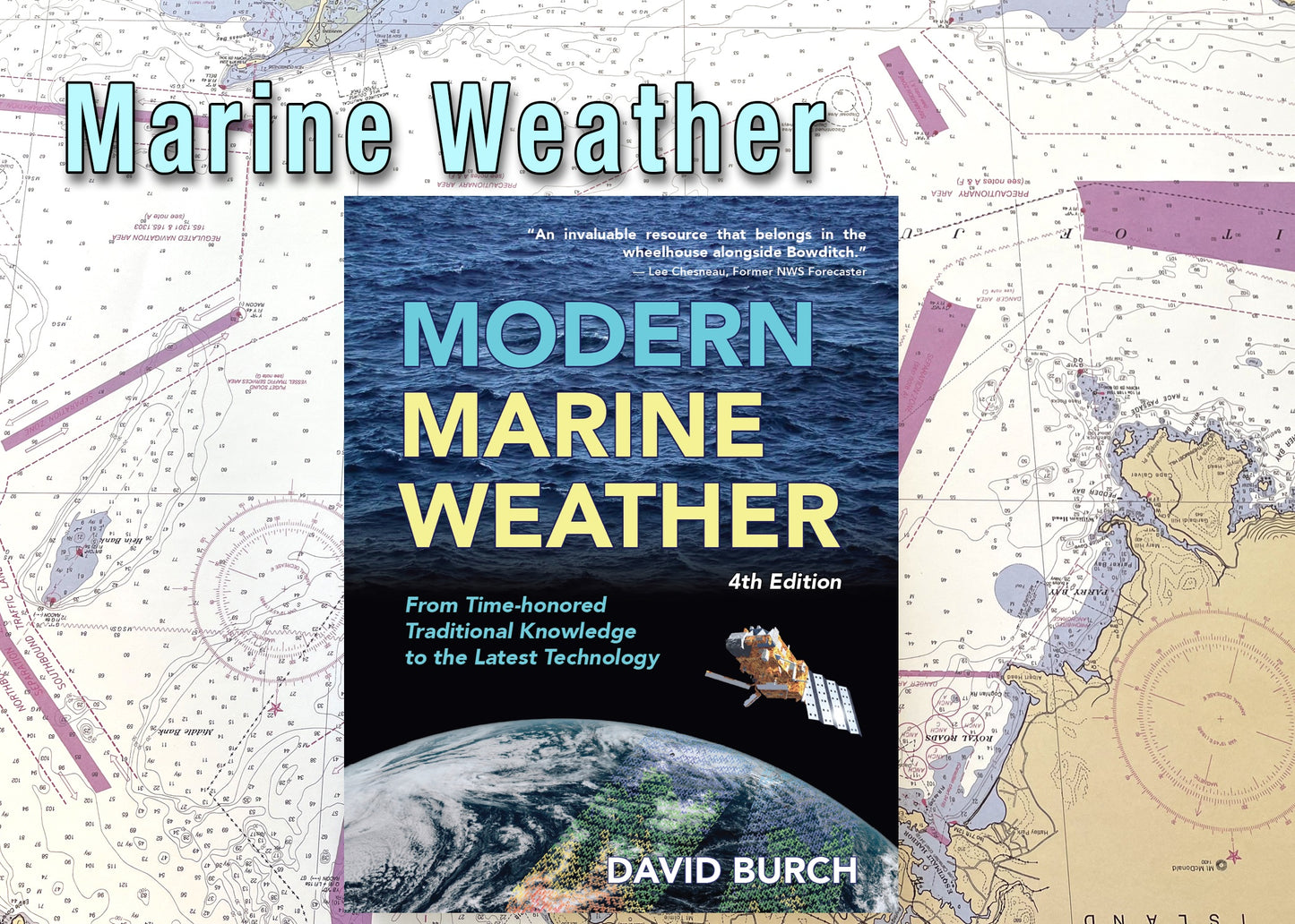
Modern Marine Weather By David Burch ISBN 9780914025580
This course covers all aspects of practical marine weather, starting from the very basics and ending with all you need to plan your voyages — or weekend outings — safely and efficiently taking into account the weather. This is intended to be a practical course that will indeed affect your decision making when planning and underway. We only cover those aspects of the "theory" that will help us with this goal.
This course uses live weather data accessed through custom Internet links to illustrate many of the topics it covers. We will also monitor a hypothetical coastal or ocean passage at the time of the course to see how the real world evolved and what decisions might be best at the time.
Here are some questions this course will answer.
No prerequisites are required, we start from the basics. Many thousands of students have successfully learned weather from these materials and gone on to bare boat chartering or day sailing or world cruising in their own boats. Please see General Course Information and Frequently Asked Questions for more details.
With the electronic components, you can take the complete course with you as you travel, or use it to search the complete set of materials for specific topics. If you prefer to work on your own without computers, you have a complete syllabus with practice exercises and answers in the printed materials. If you want extra structure to your training, then take part in the online course for more discussion and individual quizzes at each lesson.
Each Starpath course includes free access to our online Resources and discussion forums. The Student Discussion Forums are similar to our Public Discussion Forums, but they are much more extensive including all classroom discussion since 2003. We have instructors in three different time zones, so if any question comes up, just post it in the Student Discussion Forum for a quick answer—or search to see if someone has already asked the question for an even faster answer.
Lesson Plan
1 — INTRODUCTION
Role of marine weather • Elements of marine weather and how they relate to each other and to forecasting • Terminology and glossaries • Getting started on sources • Getting started on map symbols
2 — PRESSURE & WIND
Why the wind blows • Pressure and barometers • Properties of Highs, Lows, ridges and troughs • Winds from isobars • Apparent wind to true wind • More on map reading
3 — GLOBAL WIND & CURRENT
Causes and descriptions of global winds • Doldrums • Trade winds • Horse latitudes • Prevailing westerlies • Polar front • Air mass classification • Structure of the atmosphere • Stability • Ocean currents • Centers of Action concept
4 — STRONG WIND SYSTEMS
Lows • Fronts • Squalls • Tropical storms and hurricanes • Strong winds in clear skies • A reminder that ultimately we will more often use our knowledge of marine weather to find more wind than to avoid too much wind.
5 — CLOUDS, FOG, & SEAS
Clouds types and meaning • Fog types and meaning • Wave terminology • Sea state forecasting • Beaufort scale
6 — WIND & TERRAIN
Sea breezes • Land breezes • Channeling and gap winds • Blocking and shadowing • Effects of friction on shoreline winds • Sailboat tactics
7 — WEATHER MAPS REVIEW
More practice on map reading • Sorting out typical confusions • Map sequencing to verify forecasts • Manual weather routing • Fine tuning wind predictions• Use of sea state maps • Use of ocean current maps • Comparing GRIB data with analyzed products from the NWS • Automated weather routing software
8 — SOURCES OF DATA
Forecast zones • Local and high seas radio voice sources • Traditional radiofacsimile options and how to use them • New resources available by SSB, satellite phone, and cell phone connections to PCs • Model forecasts in GRIB format on land and underway • Pros and cons and safe usage of GRIB data • Overview of internet sources • ASCAT winds • Weather data by FTPmail • Ultra mobile data for mobile devices • Professional routing services
9 — ONBOARD FORECASTING
Quick forecasting tips • In-depth use of barometer • Meaning of wind shifts • What the swells, waves, and ripples can tell us • Old sayings explained • Meanings of Clouds • Logbook procedures • Combining observations with forecasts • How to explain why your own forecast was wrong! • Introduction to optimum sailboat routing computations
10 — SOUTHERN HEMISPHERE WEATHER
What is reversed and what isn't • Unique features of Southern Hemisphere weather • Special sources for Southern Hemisphere weather data
Share

